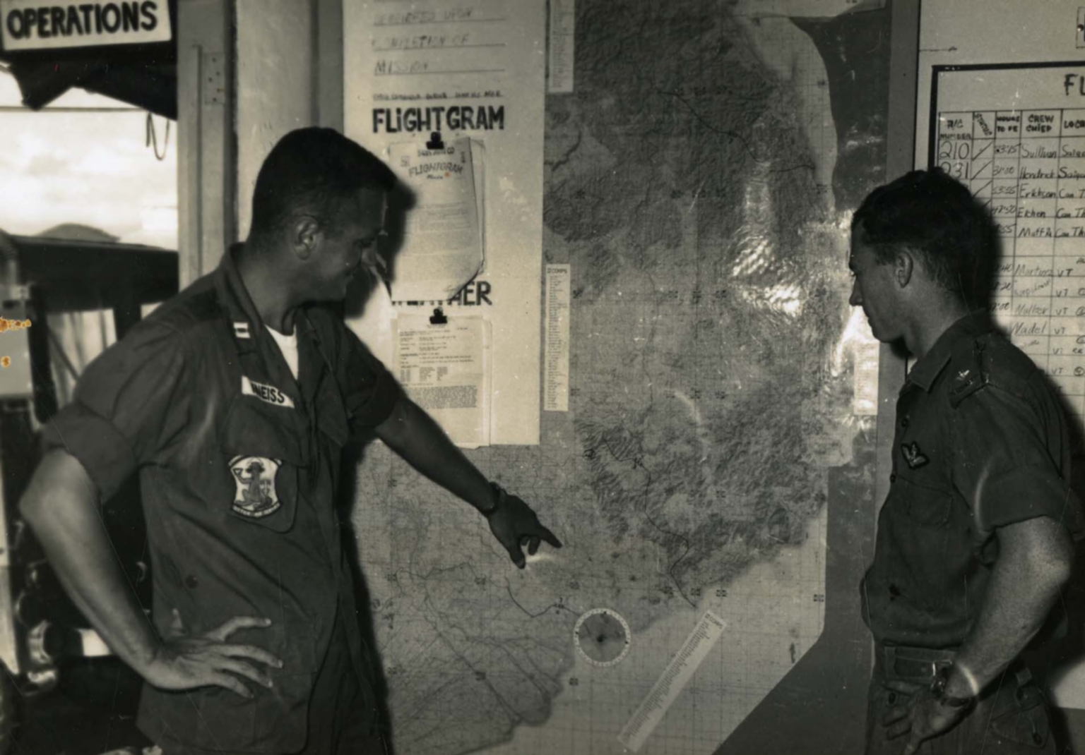
Captain Richard F. Kniess shows air strips on a map
Item
-
derivative filename/jpeg
-
363-02707.jpg
-
Digital Object Identifier
-
363-02707
-
Title
-
Captain Richard F. Kniess shows air strips on a map
-
Description
-
Original caption: "Captain Richard F. Kniess, Colorado Springs, Colorado, 54th Aviation co. Operations Officer shows Lieutenant Victor Salmon some of the strips he will use while flying missions with the 54th." An American airman points at a map of Vietnam and talks to another airman. There are other charts and a "flightgram" on the wall as well.
-
Date
-
1967, approximate
-
Subject
-
Vietnam War, 1961-1975; Maps; United States. Air Force; Airmen
-
Location
-
South Vietnam
-
Coordinates
-
10.8231; 106.6297
-
Size
-
20 x 25 cm
-
Container
-
B146, F3
-
Format
-
black-and-white prints (photographs)
-
Collection Number
-
MS 363
-
Collection Title
-
Beverly Deepe Keever, Journalism Papers
-
Creator
-
United States. Army
-
Collector
-
Keever, Beverly Deepe
-
Copyright Information
-
These images are for educational use only. To inquire about usage or publication, please contact Archives & Special Collections.
-
Publisher
-
Archives & Special Collections